Hut tour Rätikon South "Easy"

Moderate
Einkehrmöglichkeit
Mehrtagestour
Long-distance hiking trail · Hiking · Refreshment stops · Multi-day tour
08:42 h duration
24,1 km Länge
2352 m Höchster Punkt
993 m Tiefster Punkt
1073 hm Aufstieg
1984 hm Abstieg
Kondition
Schwierigkeit
Erlebnis
Landschaft

Tourbeschreibung

This scenic Montafon hut hike through the diverse Rätikon leads you past the steep limestone mountains of the Rätikon. A cross-border adventure of a special kind.

Description

A route for mountain lovers who appreciate the natural beauty of the mountains as well as fine regional cuisine. The hiking trails lead through the diverse Rätikon. The limestone rock of the Rätikon contrasts with the blooming alpine meadows on the steep walls of the impressive peaks Sulzfluh, Drei Türme and Drusenfluh, shaping the character of this hut hike. Over the Drusentor, the route passes the border into Switzerland’s beautiful Prättigau.

Approach

Coming from Bludenz on the B188, you must turn off onto the main road before Schruns towards Tschagguns and continue on to Latschau.

Public transport

Just leave your car parked

The regional buses of the Montafonerbahn operate throughout the Montafon. The main lines run hourly from Schruns station.

From Schruns train station, you reach the Golmerbahn in Latschau via bus line 601. The stop is: "Golmerbahn".

For the return journey

With bus line 601 you get back from Latschau to Schruns train station.

mbs bus timetables

Arrival by train

From Bludenz station, the Montafonerbahn runs hourly (partly every half hour). There are also direct connections from Lindau (D) and Bregenz.

mbs train timetable

Parking
Directions

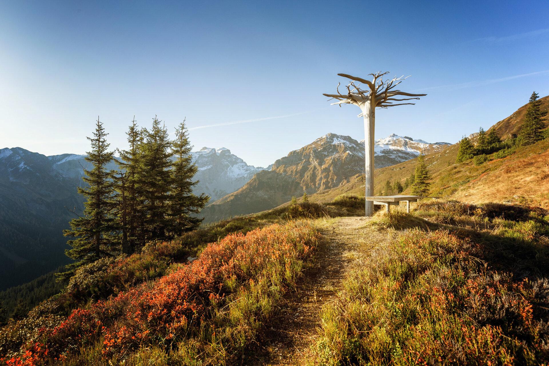
Stage 1: Golmerbahn Mountain Station to Lindauer Hut

On the way to the Lindauer Hut (1,744 m), your gaze repeatedly turns upward to the imposing limestone peaks of Drusenfluh, Drei Türme, and Sulzfluh, which make the horizon at the end of the Gauertal look like shark fins.

You follow the signpost towards Latschätzalpe, which you reach in about 1 hour. From there, you hike for about another hour to the Lindauer Hut. If you have a bit more time, the Golmer Höhenweg is highly recommended.

Hiking time approx. 1:55 hrs // approx. 5 km // ascent 115 m, descent 260 m

Stage 2: Lindauer Hut to Carschina Hut (CH)

From the Lindauer Hut, you follow the signpost uphill to the Drusentor. If you have made it this far, you have already completed the uphill meters for this stage. From here, it goes downhill on the Swiss side to the Carschina Hut.

Hiking time approx. 2:35 hrs // approx. 4.7 km // ascent 620 m, descent 137 m

Stage 3: Carschina Hut to Tilisuna Hut

Over the Tilisunafürgili, you reach the Tilisuna Hut with only a few meters of ascent. If you have some time and strength left, you can also climb the summit of Sulzfluh before descending to the Tilisuna Hut.

Hiking time approx. 2:35 hrs // approx. 6.2 km // ascent 250 m, descent 275 m

Stage 4: Tilisuna Hut to Latschau

(On this hike, you follow the same route as stage 4 of the Rätikonrunde Montafon)

The last stage begins at the Tilisuna Hut and leads past the Tilisuna Lake below the Schwarzhorn to the Schwarzhorn Saddle. From the Schwarzhorn Saddle, it goes steeply downhill to the Tobel Lake. The path then leads you past the Alp Alpila over the Vollspora back to Latschau.

Hiking time approx. 3:25 hrs // approx. 8.2 km // ascent 78 m, descent 1,294 m

Safety instructions

EMERGENCY: 144

European emergency number: 112 (works with any mobile phone/network)

Equipment

Good, ankle-high hiking boots with a good profile, sufficient provisions and drinks, hiking poles recommended

Tips

For this route, you should plan your personal daily stages and reserve accommodations in the huts in advance!

Destination

Latschau

Starting Point

Golmerbahn Mountain Station

Eigenschaften
Routentyp Long-distance hiking trail, Hiking, Refreshment stops, Multi-day tour
Schwierigkeit Moderate
Höhenprofil
Beste Jahreszeit
Jan
Feb
Mär
Apr
Mai
Jun
Jul
Aug
Sep
Okt
Nov
Dez