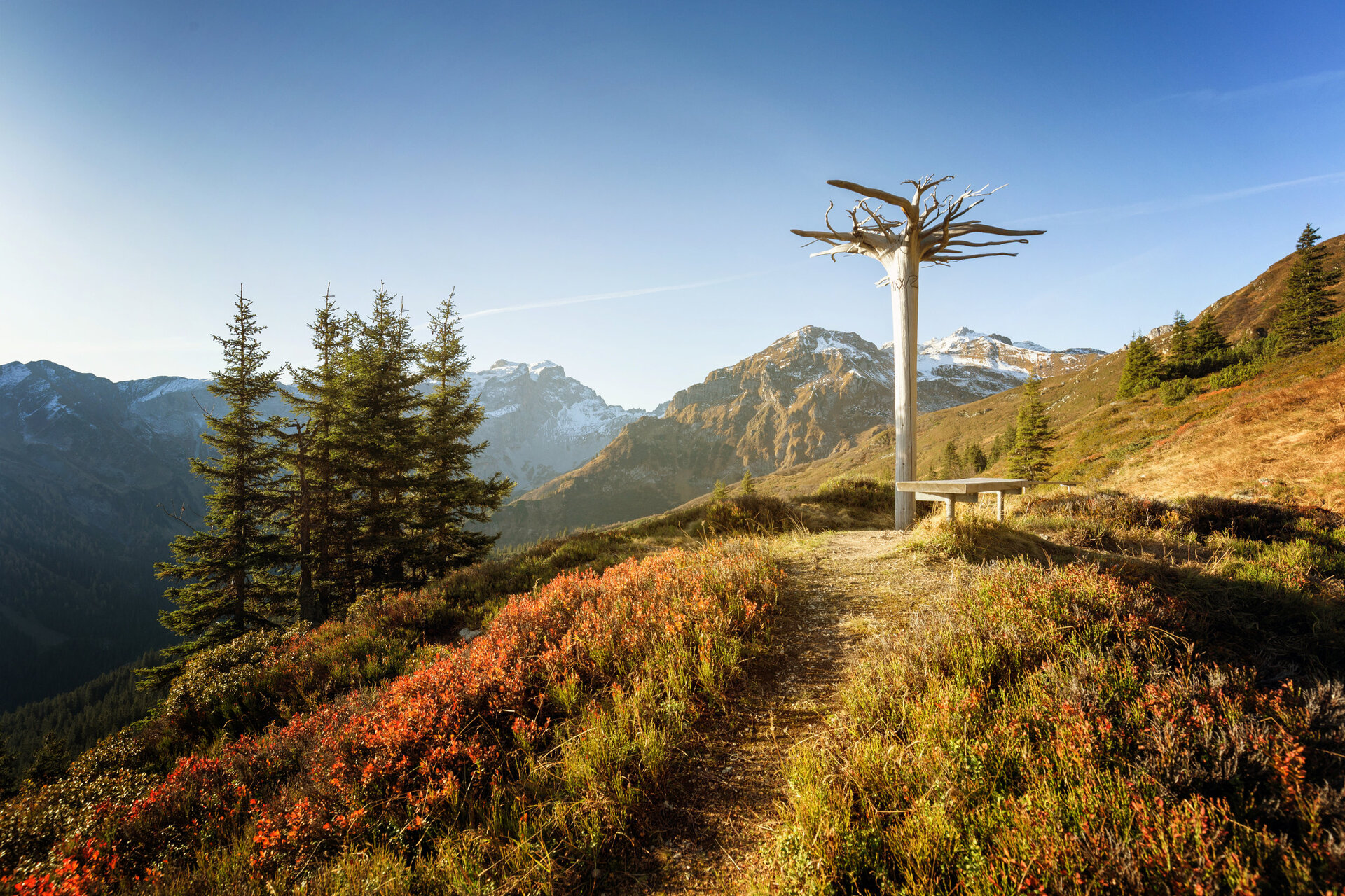
With the Golmerbahn you already conquer the first altitude meters from Latschau to the Grüneck mountain station at 1,890 meters above sea level. You can take the first break at the Berghof Golm. From there it goes briefly uphill. At the fork (by the memorial stone), follow the path to the Latschätzalpe. The hike initially leads slightly up and down. The duration is about 1 hour. At the Latschätzalpe you have another opportunity to take a break. Here, besides butter and mountain cheese, the traditional Montafoner "Sura Kees" is produced. In this area, you can observe marmots. From the Sennalpe, you hike on a slightly ascending but short section first slightly uphill, then it goes with slight ups and downs on the last section to the Lindauer Hütte. The Lindauer Hütte is located at the foot of the famous Drei Türme, the so-called landmark in Montafon and distinctive mountain peak in the Rätikon. The alpine club hut is located at the summit point of the Rätikon high trail north and south. You can enjoy regional delicacies. After a refreshment, it is worth visiting the botanical alpine garden right next door. On 3,000 m² you can explore native flora and plant communities in Vorarlberg (entrance is free). The alpine garden shows a diverse alpine flora. Then the descent begins. Through forests and lush mountain meadows you reach the Untere Sporaalpe. Shortly after you reach the Untere Latschätzalpe. Shortly thereafter, it goes in switchbacks through the Ronawald in 1.5 hours uphill into the Wachters Dieja area. The name Dieja is the Rhaeto-Romance term for Maisäß and still refers to the first settlers of Montafon. Shortly after, you reach "Plazadels", which is also a popular photo spot. From Plazadels (about 40 min) the path leads slightly downhill through light forest sections to the Maisäß landscape at Matschwitz. The last stretch to the Golmerbahn middle station goes slightly uphill again. With the Golmerbahn you return to Latschau.