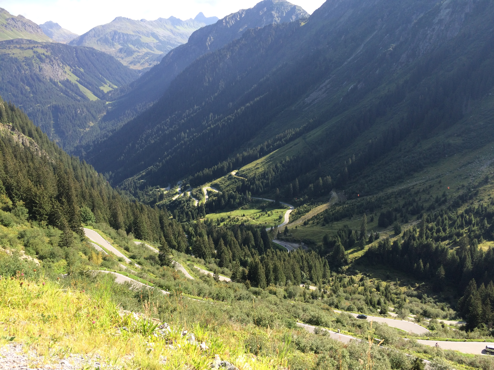
3​-​lake route Silvretta​-​Bielerhöhe

Difficult
closed
Einkehrmöglichkeit
Rundtour
Road cycling · Refreshment stops · Round trip
05:00 h duration
72,7 km Length in km
2037 m Highest point
671 m Lowest point
1350 m gain Ascent
1350 m gain Descent
Stamina
Difficulty
Adventure
Scenery

Tour description

Aktivpark Montafon - Schwimmbadstraße - Zelfenstraße - Bödmenstein - Mauren - Badmunt - St. Gallenkirch - Gortipohl - Gaschurn - Partenen - Toll station - Silvretta High Alpine Road - Vermuntsee - Silvrettasee - Toll station Wirl/Galtür - Kopssee - Ganifer - Partenen - Gaschurn - Gortipohl - St. Gallenkirch - Schruns - Aktivpark Montafon
Sicherheitstipps für Rad in Vorarlberg

NOTRUF:

140 - Alpine Notfälle österreichweit 

144 - Alpine Notfälle Vorarlberg 

112 - Euro-Notruf (funktioniert mit jedem Handy/Netz) 

Properties
Route type Road cycling, Refreshment stops, Round trip
Difficulty Difficult
Elevation profile
Best months
Jan
Feb
Mar
Apr
May
Jun
Jul
Aug
Sep
Oct
Nov
Dec